Thematic maps are maps of a specific subject or for a specific purpose. For example, thematic maps can be used to portray physical, political, and even agricultural aspects of a specific region or country.
I chose these specific maps because I know relativity a lot about Spain and the different aspects within the nation. The different types of elevation throughout Spain are very different than in the United States because one minute you could be deep in a valley and the next you could wind up in a mountainous hill. The population map is also very interesting because of the vast emptiness of the country in places that are not close to cities whatsoever. The last map of land utilization is very simple based on the landscapes of the different regions throughout Spain.
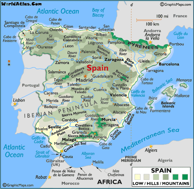
Elevation Map
This map shows the different types of elevations in Spain ranging from hills to mountains.
 |
| Source: http://spain-mi-tortilla.wikispaces.com/Thematic+Maps |
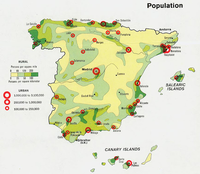
Population Map
This map shows the population throughout Spain.
 |
| Source: http://www.lib.utexas.edu/maps/spain.html |
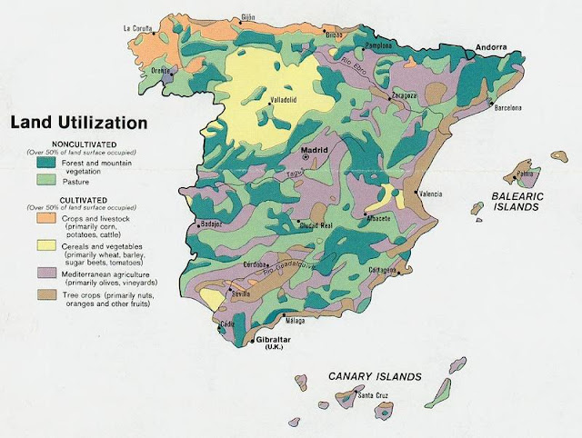
Land Utilization Map
This map shows how the land is utilized throughout Spain.
 |
| Source: http://spain-mi-tortilla.wikispaces.com/Thematic+Maps |


No comments:
Post a Comment